Help map the Danube's hidden barriers.
The Danube River Basin has roughly 125,000 river–road crossings. Nobody knows how many of them stop fish migration. You can help us find out.
Every time a road crosses a river, there is potentially a barrier. Find one near you, photograph it, and log it in a free app. It takes about 10 minutes and you do not need a science degree to take part — just curiosity and enthusiasm.

AMBER


RekoSled

Why it matters
A river's health depends on more than clean water. It depends on whether the river is still connected - whether fish can move freely between the places where they feed, shelter, and spawn. Barriers break that connection.
Large dams and weirs are well documented. River–road crossings are not. They are the most abundant and the most neglected barriers to fish movement. Every time a road crosses a river, there is potentially a barrier: a culvert set too high, a ford with a concrete sill, a badly built bridge.
The Danube River Basin has roughly 125,000 river–road crossings. We do not know how many of them stop fish from getting through, because this kind of data is not collected systematically. We can estimate where the crossings are from maps and aerial imagery, but only people on the ground can tell us what is actually there.
That is where you come in.
We want this picture for the whole basin, and in as much detail as we can manage around our demo sites. If you live near one, your records count for even more.
Your Mission

1. Visit a river–road crossing near you
Anywhere a road meets a river or stream on a walk, a bike ride, a paddle or a drive.

2. Take a picture of it
Point the camera in the direction the water is flowing from or upload an existing photo of the barrier.

3. Log it in the free app
Answer a few short questions and save. It takes only about 10 minutes in total.
What counts as a river-road crossing?
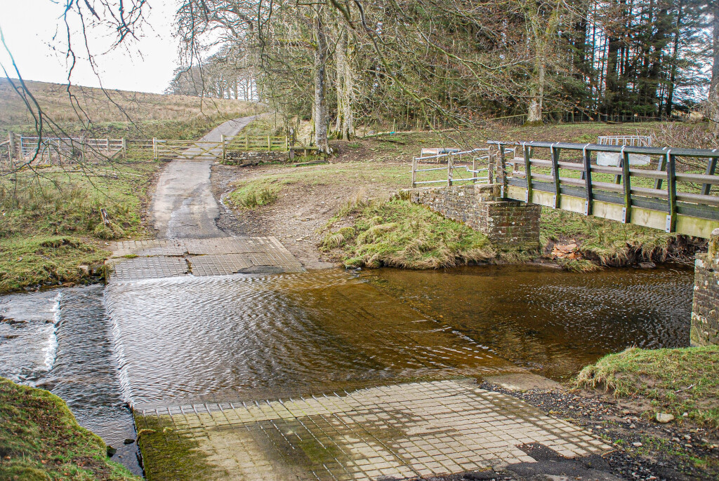
Ford
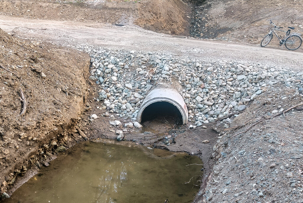
Culvert
Bridge
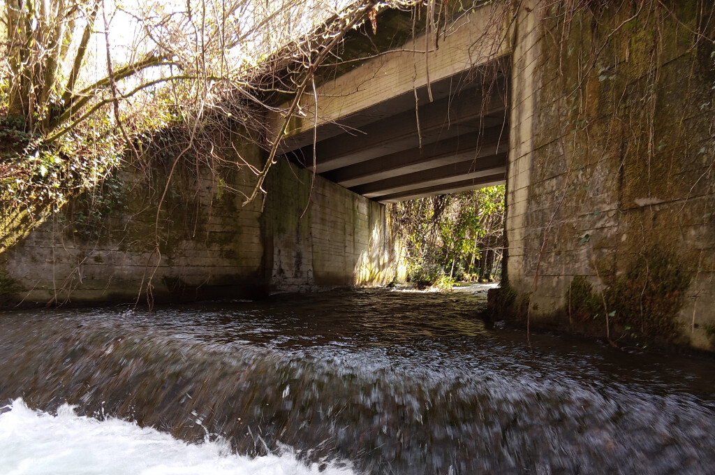
All three count. Part of what we are trying to find out is which of them are barriers and which are not, so a crossing that fish pass easily is just as useful a record as one that blocks them.
Ready to start
AMBER Barrier Tracker
For the whole Danube basin
Developed by the Blue Rivers Foundation as part of the AMBER initiative, and used across Europe.

RekoSled
For Slovenia
Developed by the REVIVO Institute with project partners as part of the Interreg RIWET project. The app is used in Slovenia and worldwide, available in Slovenian and English language.


Stay safe.
Choose crossings you can reach easily and legally, respect private land, and remember that water can run deeper and faster than it looks. Never enter the water to get a photo.
Questions
Do I need any training or equipment?
No. A smartphone is enough. The app guides you through each step.
What if I am not sure whether it is a barrier?
Record it anyway. You are asked for your best judgement, and experts review the records afterwards. Uncertain records are still useful.
Can I record the same crossing someone else already recorded?
Yes. Repeat observations help verify the data and show how a crossing changes over time.
Does it cost anything?
No. Both apps are free and ad-free.
Can I take part outside the Danube River Basin?
Yes, the AMBER Barrier Tracker And RekoSled are used across Europe. But records from the Danube Basin are especially valuable for this project.
Materials
River–road crossings flyer-what to look for and how to record it