Hours in a Fishing Boat
Scorching sun alternates with pouring rain. You can’t hide from either. You rely on the food and water you’ve brought with you. Opportunities to come ashore are nearly nonexistent. But you call upon your endurance and keep going, hour after hour. Because you have important work to do.
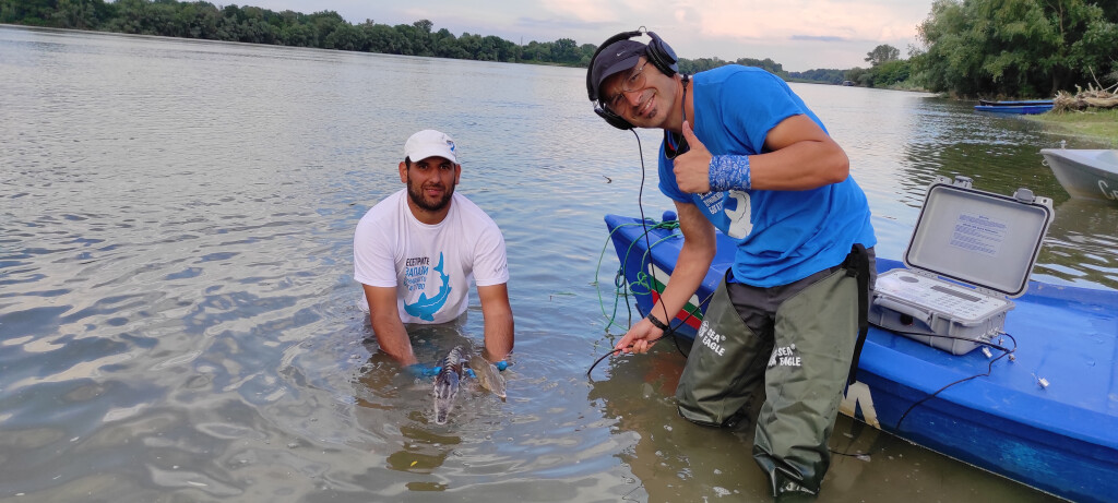
This is what a typical day looks like for the experts at WWF Bulgaria when they're mapping the bottom of the Danube River with sonar or monitoring the sturgeons and their habitat.
Our work on the Danube is often exhausting and requires patience and perseverance. But it is also incredibly meaningful, rewarding, and something we’re very proud of. In the following lines, we’ll introduce you to some aspects of it.
The State of the Danube River
The Danube is iconic for Bulgaria for many reasons. It’s no coincidence that it’s even mentioned in the national anthem. Yet, many people don't know it well and are surprised to learn that it hosts incredible biodiversity.
Unfortunately, in the last 150 years, nearly 80% of the Danube’s wetlands and fish resources have been destroyed, and the remaining are under threat. The damage to the river is mainly caused by the construction of dams, dikes, and riverbed dredging. However, the Lower Danube is still home to unique species of global significance, which have disappeared from other regions.
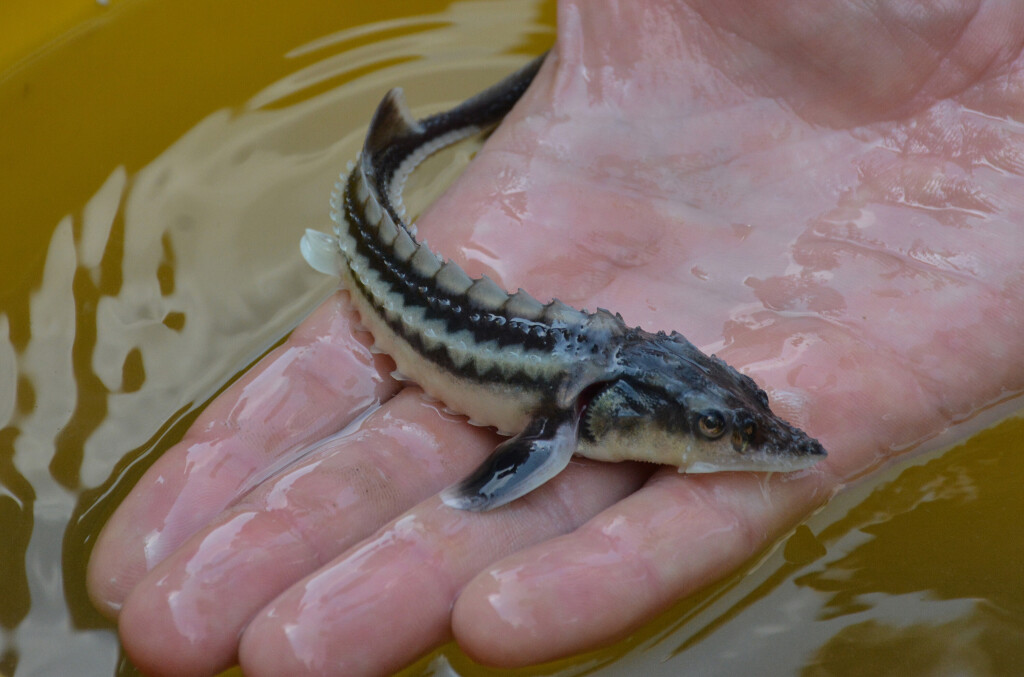
Example for this are the critically endangered Danube sturgeons, whose conservation is one of WWF’s key priorities. Below, we’ll focus on one of our activities related to sturgeon protection.
Mapping the Bottom of the Danube with Sonar
We launched a hydrographic sonar survey to investigate potential habitats for sturgeon. So far, we have studied multiple locations along the Bulgarian section of the Danube - from the Vryv area (Vidin region) to the Vetren area (Silistra region).
How is the mapping done?
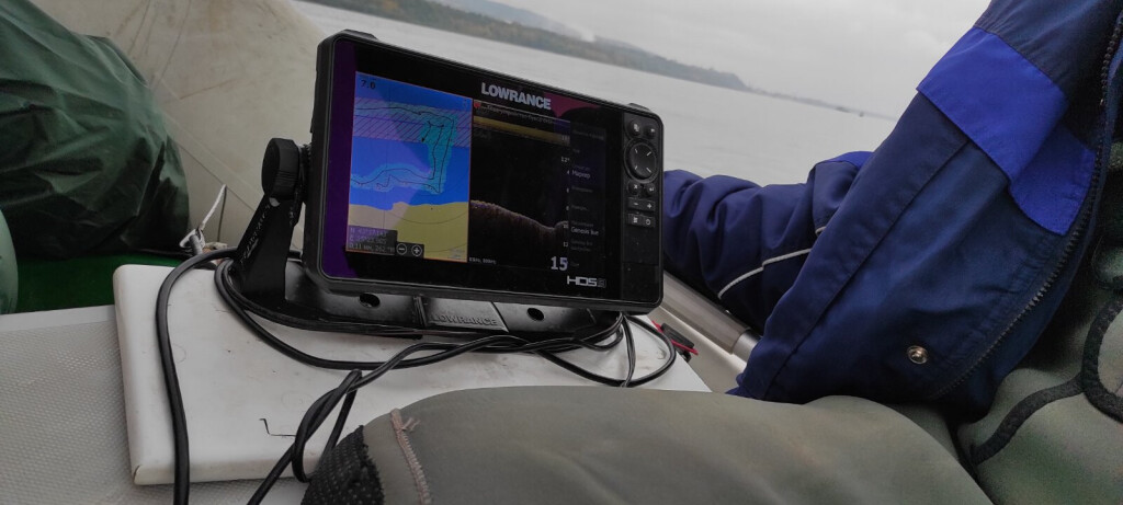
The selected river section is reached by boat, on which a sonar device with a submerged probe is installed. The boat moves slowly through the river, mapping transect lines - these are the paths along which measurements are taken.
It’s very important for the transects to be close to each other - the closer they are, the more detailed the data and the better the image of the riverbed. The process is very slow. The boat’s speed must not exceed 8 km/h, as the probe sends signals to the riverbed which are reflected back to create an image. If the boat moves too fast, the signal becomes fragmented and the image incomplete.
While tracing the transects, the probe measures the depth, length, and width of the section and detects vegetation and substrate hardness (riverbed composition). The data is stored in files on the sonar, which are then uploaded to cloud servers. Later, the files are processed and maps are created.
Why Map the Danube’s Bottom?
We focus not only on potential sturgeon habitats but also on areas in the river affected by dredging activities. Our goal is to determine how much overlap exists between dredging zones and sturgeon habitats.
Since the data collection is still ongoing and the process is slow, the final conclusions are yet to come.
Reproduction of the Pontic Shad
WWF’s work on the Danube isn’t limited to sturgeon. Another area of focus is the reproduction study of the Pontic shad, also known locally as karagyoz. This research is especially important for both the river and the people whose livelihoods depend on it.
The Pontic shad is a marine fish that enters the Bulgarian part of the Danube to spawn in early spring. For thousands of years, massive spawning runs of mackerel were central to the river's ecosystem and the livelihoods of local communities. But human interventions like dams, dikes, and overfishing have led to a dramatic decline in their populations.
In recent years, climate change has also negatively impacted the species. For example, 2022 was a record dry year for the Danube, which prevented the Pontic shad from reproducing in the river. Very few eggs were recorded. Studies in 2023 show a slight recovery, but reproduction rates are still far from optimal levels.
Despite the challenges, every hour spent on the river brings us closer to understanding — and safeguarding — the Danube’s most iconic migratory fish.
From mapping sturgeon habitats to monitoring Pontic shad reproduction, our work is about more than data: it’s about giving these species a future, and ensuring that the river continues to sustain both biodiversity and people.