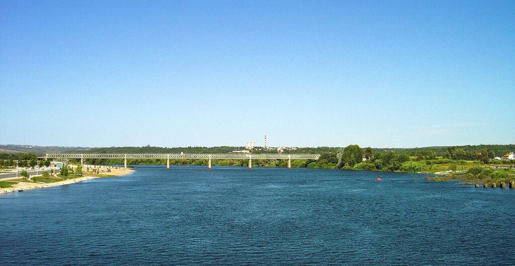
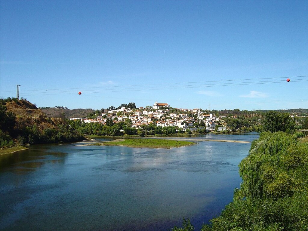
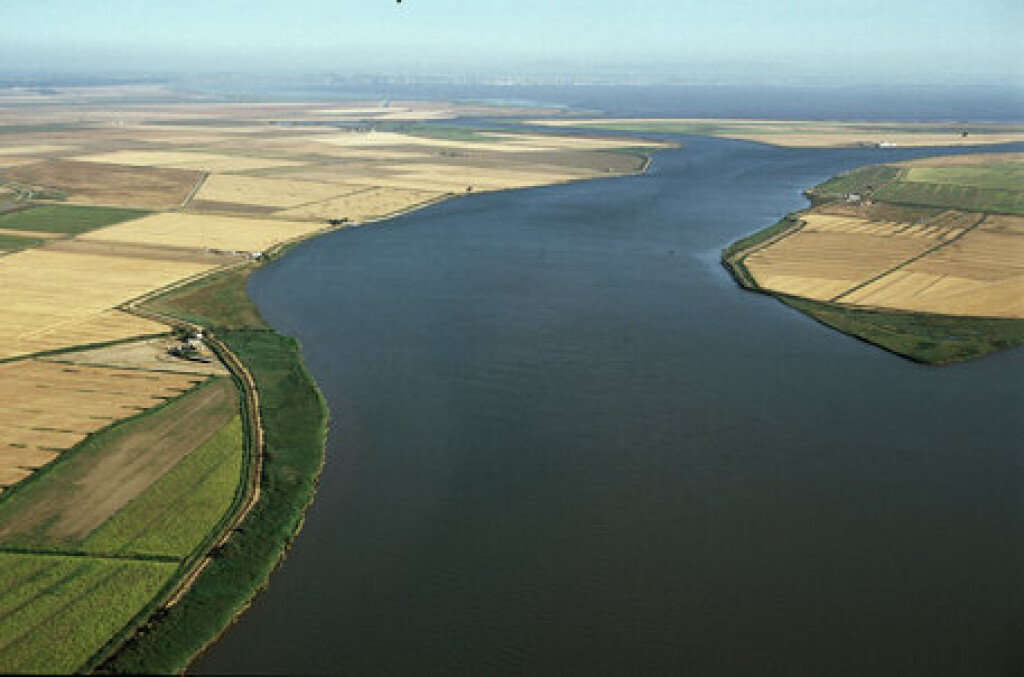
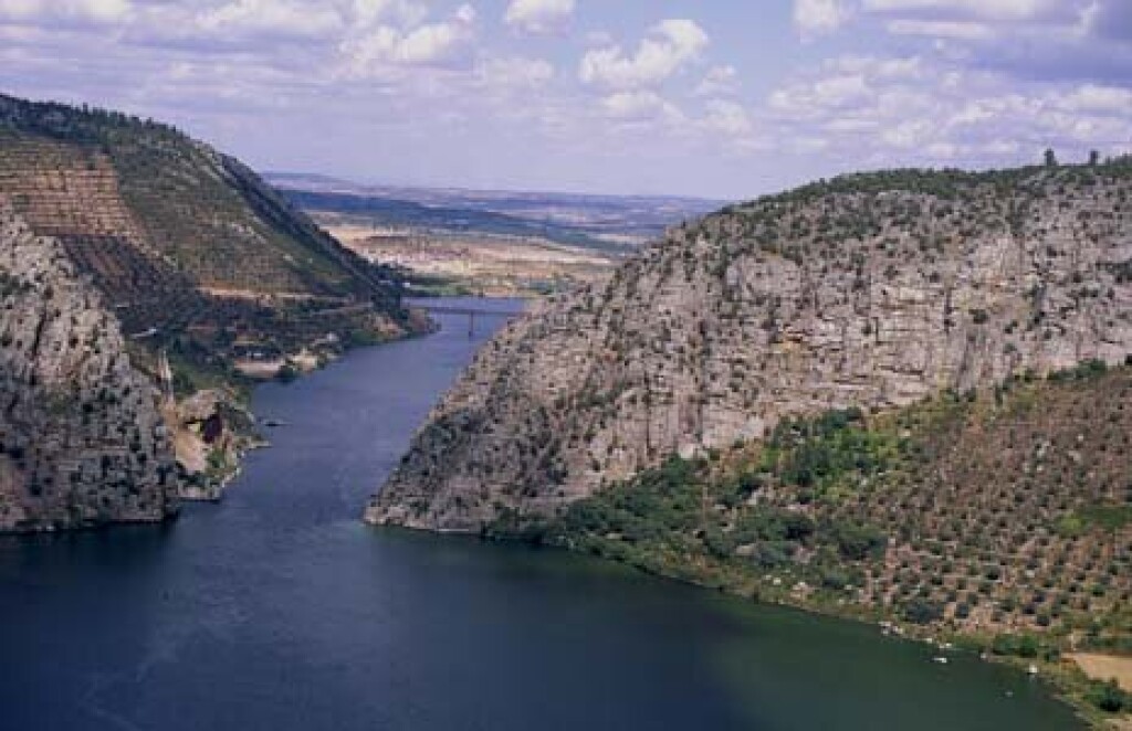
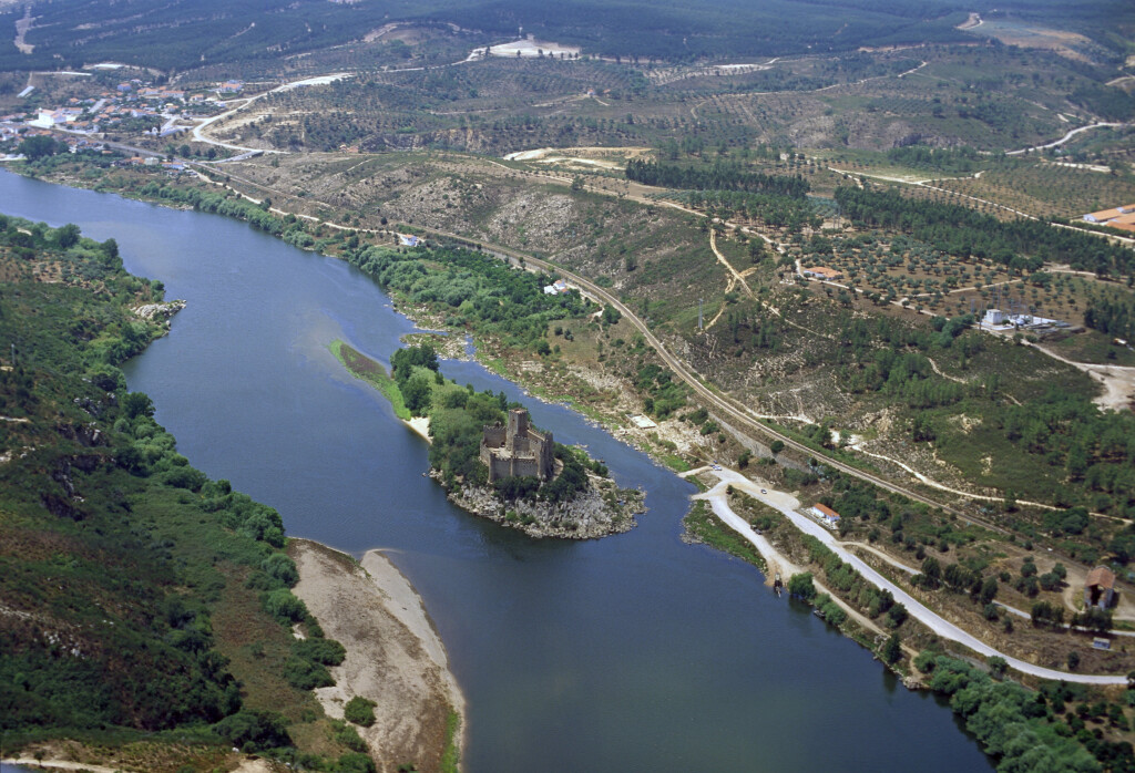
Tagus river
General information
Project title: Tagus LifeLine (TLL): Connectivity Dashboard for Migratory Fish Restoration
Country: Portugal (Transboundary with Spain)
River basin: Tagus River Basin (Tejo/Tajo)
Lead organization/authority: Administração da Região Hidrográfica do Tejo e Oeste (ARHTO) – Portuguese Environmental Agency (APA)
Involved organisations: ARHTO-APA, ISA- School of Agriculture – University of Lisbon
Project stage: Planning and development of a basin‑scale restoration decision‑support tool (36‑month implementation phase).
Project summary
The Tagus River Basin (86,278 km²) is one of the most ecologically important rivers in southern Europe and the largest transboundary basin in the Iberian Peninsula. Historically, it supported strong populations of European eel, allis and twaite shad, and sea lamprey. However, dams and weirs have severely fragmented the river, blocking access to ancestral spawning and nursery habitats and reducing longitudinal connectivity.
Although restoration actions exist, they remain fragmented and lack an integrated, basin‑wide analytical framework. Tagus LifeLine addresses this gap by developing an interactive Connectivity Dashboard that integrates historical fish data, habitat modelling, and river‑network connectivity tools. The project supports science‑based planning of barrier mitigation, habitat reconnection and ecological flow improvements, advancing the vision of a free‑flowing “Tagus Swimway” linking the Atlantic to upstream habitats.
Project facts

Location
Whole basin

Target Species
European eel (Anguilla anguilla), allis shad (Alosa alosa), twaite shad (Alosa fallax), sea lamprey (Petromyzon marinus).

Key Focus
Planning of restoration measures; river connectivity assessment; barrier prioritization and mitigation; scenario modelling; development of a basin scale digital Connectivity Dashboard.
Actions and outcomes
Tagus LifeLine will consolidate historical fish records (PHish‑DB), reconstruct pre‑fragmentation distributions using iPODFish, model habitat suitability under past and present conditions, and quantify structural and functional connectivity with RivTool and RivConnect. These outputs will be integrated into an interactive Connectivity Dashboard that allows managers to test restoration scenarios — including barrier removal, fishway retrofits, and ecological flow adjustments — and quantify expected ecological gains.
Outcomes include:
• Restoration‑priority maps for migratory fish
• Evidence‑based support for RBMP and Nature Restoration Law planning
• Strengthened transboundary coordination with Spain
• A scalable and replicable restoration‑planning model for other European basins
The long‑term goal is the creation of a continuous “Tagus Swimway” reconnecting river and ocean ecosystems.
Additional information
Quotes:
“From the Atlantic tide to its inland headwaters, the Tagus is a lifeline for biodiversity, culture, and resilience — restoring its flow means restoring its future.”